

Mopani and Letaba in the Kruger National Park are the recommended overnight camps close to the Giriyondo border post into the Limpopo National Park in Mozambique. We were quite concerned as to the state of the roads on the Mozambique side, but our research suggested that even though the route we were taking was for 4×4’s only, we should be fine in our normal Kombi which has quite high ground clearance but no 4×4.
I must say I was feeling very apprehensive about the whole thing – here we were, not very well prepared at all, going on a family road trip into a completely unknown territory. All the other cars we passed on the highway from Johannesburg were rugged looking cross-Africa 4×4’s, loaded with extra wheels and jerry cans and serious bushwhacking trailers brimming with stuff. We were just a family with a bag each piled into a normal car.

A rather rustic border post
When we arrived at the border post in the thick early morning mist, we were first there. I had expected a queue of holiday makers, but clearly Giryondo is a lesser used point of entry. Oh dear, I had counted on being assisted by the convoy of South Africans that we were expecting to be driving the same route with us if we got into trouble with our non 4×4 family car.
We had planned on buying ourselves a sim card at the border post, from one of the many totes that are supposed to be there, but there was nobody in sight besides the few customs officials manning the two small thatched roof buildings – one on SA, one in Moz.
We had to pay a fortune in park entry fees to drive through 68km of park and it was the longest stretch of road we have ever driven. It took us almost 3 hours to rattle across the deep corrugations and it’s a wonder that our car was still in one piece at the end of it and that none of our tyres had popped.

Not a soul in sight
Interestingly, despite some of the park fences having been dropped between the Kruger and Limpopo parks, we did not see a single sign of life on the Mozambique side – no animals, spoor, scat and virtually no birds. Just mile after mile of pristine thicket and that horrendous rutted road.
Tip – although we proved that it is possible to drive a normal car through Limpopo National Park, we do recommend rather using a 4×4 or bakkie as the road is really rough.
Once through the park, we stopped for a picnic at the impressive Massingir Dam, where there is a shiny new hydroelectric plant in action. The road from Massingir to Chokwe was in pretty good shape and we were glad to eat up the miles at a better pace. When we approached Chokwe, we were absolutely enchanted by the bevy of bright colours that greeted us. The town was lined with little wooden stalls filled with bright coloured goods – from plastic bowls to swathes of fabric and pretty much anything that you would get in your local Chinese store in South Africa.

Picnic Lunch at Massingir Dam
As the landscape became filled with people, so the roads seemed to fade away in patches and most of the road from Chokwe to Macia and the EN1 (Mozambique’s South to North highway) was half tar, half pothole. This made for a very interesting meandering, swervy, slow drive – it felt like we were playing a real life computer game dodging potholes and oncoming traffic, but we didn’t mind as the view from the window was absolutely fascinating. It seemed like this whole part of Mozambique was a giant flood plain and everything was very green and wet.

Dodging potholes
Road signs are not a feature along Mozambique’s smaller roads and without the sim card we were supposed to have bought at the border, we had no data which meant no Google Maps so it was guesswork as to whether we were driving on the correct route. Luckily there aren’t actually a lot of roads in Mozambique at all, so we managed to find our way safely to the EN1 without any help from technology, save for a Google Map screenshot I had saved the day before.

We made it to the EN1 without a 4×4 or Google Maps!
The EN1 is in pretty good shape. It’s a one lane (in each direction) road with an emergency lane on the side. It was a relief to be back on a main road with other drivers and we stared out the window in amazement at life in Mozambique. The road is lined with dwellings – plot sized family homesteads, each with a couple of straw huts, a vegetable patch and a “shop” on the front of the road (basically a cobbled together wooden stand made from local tree branches and selling only one item). The children of each family man the shop, and it must be a very long and boring wait for someone to stop at their plot – in each area all the little shops sell exactly the same thing, so its pot luck whether someone will choose to stop at their shop instead of their neighbours. We drove through kilometres of cashew nut stalls, followed by kilometres of oranges, then came kilometres of chilli sauce stands, then lots and lots of charcoal, then bundles of wood, sweet potatoes and cassava and so on. The women were working in their veggie patches and sweeping up their sand floors and there is virtually no litter around at all.

Baobab Pod Stand

Cashew Nut Stand
The towns of Mozambique are painted red. Literally every building made from bricks has been painted top to bottom red with a white Vodacom logo or has a large Vodacom sign on it. Some of the villages actually glow a surreal red colour as you drive through. I have ever seen branding like that anywhere, and it is clear that Vodacom is Mozambique’s dominant cellular service provider. As poor as the people of Mozambique are (and they truly are dirt poor), they do all seem to have smart phones and there are loads of tiny Vodacom agencies in wooden stalls everywhere.

Welcome to the Republic of Vodacom
Tip – airtime and data is really cheap in Mozambique. Buy yourself a local sim card at one of the little Vodacom agencies.

Vodacom agencies everywhere!
Speaking of poor, we were gobsmacked at the level of poverty in Mozambique. There are no formal shops, no big farms, no chain stores – just mile after mile of humble subsistence farming homesteads and informal stalls. The towns don’t even have proper shops or businesses. I can’t begin to imagine where the residents are supposed to find a job. There is no running water or sewage, we saw people queuing at communal wells to fetch their water. It was truly an eye-opener for our family to see how the people of Mozambique live.

This is as formal as the shops get in Mozambique
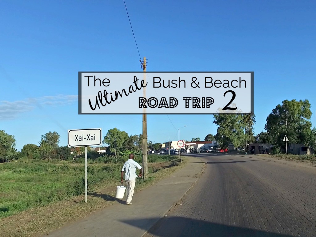
When we pulled into Praia du Xai-Xai after a very long day in the car, I saw why we battled to get an accommodation booking. It wasn’t because everything was booked up as it is such a popular holiday destination as I had thought, but rather that half of the resorts in Xai-Xai were badly damaged in the Tropical Storm Dineo earlier this year and were closed. We drove all the way along the beachfront on a road made of beach sand (without getting stuck) and eventually reached our stayover for the night, the charmingly rustic Montego Resort.


Our family beach hut at Montego Resort
We rushed out onto the beach to catch the setting sun and were delighted to find a cast of crabs scuttling on the sand where the waves were breaking. It was absolutely beautiful and magical and we were so happy to have safely reached the beaches of Mozambique, over halfway to Vilanculos.

Running onto the beach

Crabs in the surf
Watch out for the third part of this post to see what happened in Vilanculos and whether this 3000km (one way) journey was worth it.
Yours in travel

Did you miss Part 1? Click here to catch up:
The Ultimate Bush and Beach Road Trip to Kruger and Mozambique (Part 1)


Leave a Reply